 by
by Bangladesh, a vibrant country in South Asia, is known for its rich cultural heritage, dense population, and diverse geography. From the sprawling deltas of the Ganges and Brahmaputra rivers to the hilly terrains of the Chittagong Hill Tracts, the geographic diversity of Bangladesh is both remarkable and complex. This article aims to provide a detailed exploration of this diversity, supported by maps, statistics, and case studies, to enhance understanding of Bangladesh’s unique landscape.
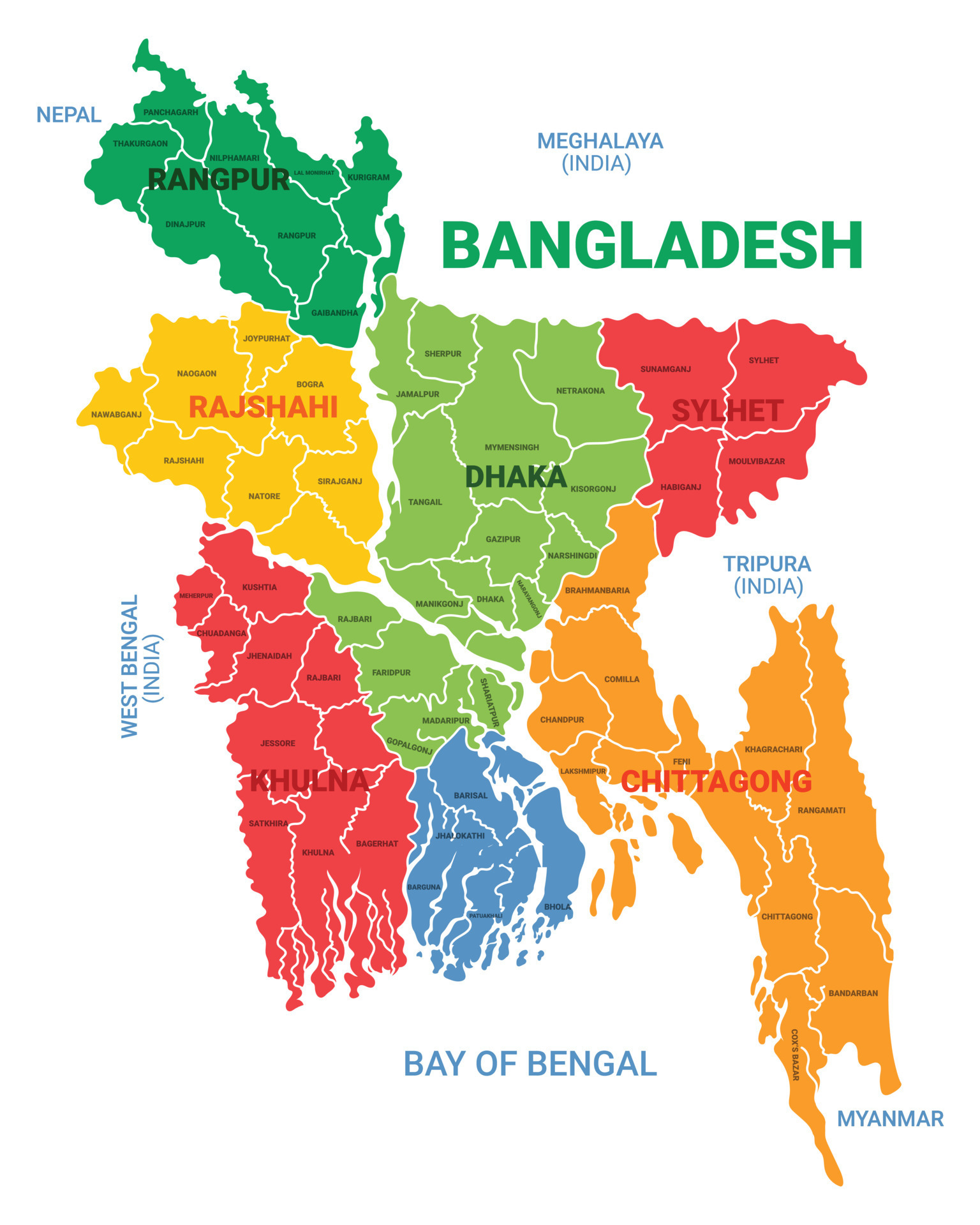
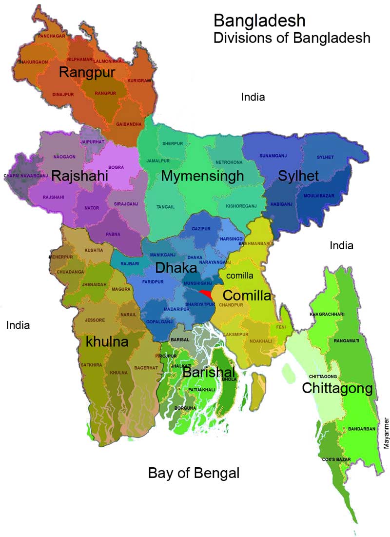
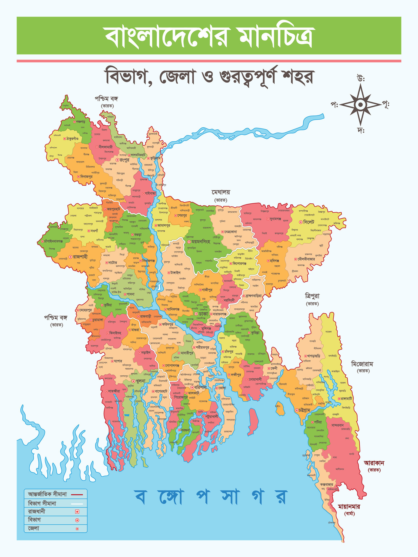
The Geographic Overview of Bangladesh
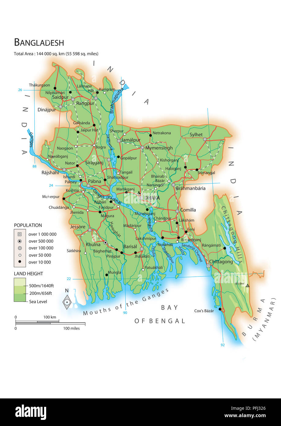
Bangladesh is located on the northern coast of the Bay of Bengal and shares borders with India and Myanmar. Covering an area of approximately 148,460 square kilometers, it is one of the most densely populated countries in the world, with a population exceeding 165 million. The geographic features of Bangladesh can be categorized into several distinct regions:
- Lowland Delta Region: The majority of Bangladesh consists of the fertile delta formed by the Ganges, Brahmaputra, and Meghna rivers.
- Hilly Regions: The southeastern and northeastern parts of the country are characterized by hills and forests, notably in the Chittagong Hill Tracts.
- Coastal Areas: The southern coastline along the Bay of Bengal is home to mangrove forests and several islands.
- Urban Areas: Major cities like Dhaka and Chittagong are located in the lowland delta region and are important economic hubs.
The Lowland Delta Region
The lowland delta region is the heart of Bangladesh, where the three major rivers converge. This area is not only significant for agriculture but also for its ecological diversity. The fertile alluvial soil supports the cultivation of rice, jute, and various fruits and vegetables.
Characteristics of the Delta

The delta region features:
- Floodplains: The area is prone to seasonal flooding, which enriches the soil but can also pose challenges for agriculture.
- Wetlands: Numerous wetlands provide habitats for various bird species and contribute to biodiversity.
- Climate: The region experiences a tropical monsoon climate, with heavy rainfall during the monsoon season (June to October).
Case Study: The Sundarbans
The Sundarbans, a UNESCO World Heritage Site, is the largest mangrove forest in the world, located in the southwestern part of the country. It is home to the Bengal tiger and provides crucial ecological services. The forest acts as a natural barrier against cyclones and floods, highlighting the importance of preserving such ecosystems.
The Hilly Regions
The hilly regions, particularly the Chittagong Hill Tracts, account for about 10% of Bangladesh’s land area. This area is characterized by lush green hills, valleys, and a variety of ethnic communities, including the Chakma, Marma, and Tripura.
Geography and Culture
The hilly regions are known for:
- Elevation: The elevation ranges from 300 to 1,000 meters above sea level.
- Cultural Diversity: The indigenous communities maintain distinct languages, traditions, and lifestyles.
- Tourism Potential: The scenic beauty and cultural richness attract tourists, contributing to local economies.
Challenges in the Hilly Regions
Despite their beauty, the hilly regions face challenges such as:
- Deforestation: Unsustainable logging practices threaten biodiversity.
- Land Conflicts: Tensions between indigenous communities and settlers often lead to conflicts over land rights.
- Infrastructure Development: Lack of infrastructure hampers economic growth and access to essential services.
The Coastal Areas
The coastal areas of Bangladesh are significant for their natural resources and biodiversity. The coastline stretches over 580 kilometers and includes numerous islands like St. Martin’s Island and Bhola Island.
Environmental Importance
The coastal regions feature:
- Mangrove Forests: These forests provide critical habitats for marine life and protect coastlines from erosion.
- Fisheries: Coastal waters are rich in fish, supporting livelihoods for millions of people.
- Climate Resilience: Coastal ecosystems play a vital role in mitigating the impacts of climate change.
Case Study: Climate Change and Vulnerability
Bangladesh is one of the countries most vulnerable to climate change. Rising sea levels threaten coastal communities, leading to displacement and loss of livelihood. The government and NGOs are engaged in various adaptation strategies, including building embankments and promoting sustainable fishing practices.
Urban Areas and Their Role in Geography
Urbanization in Bangladesh has been rapid, with Dhaka being one of the fastest-growing megacities in the world. Urban areas play a crucial role in the country’s economy, culture, and infrastructure development.
Dynamic Urban Landscape
Key features of urban areas include:
- Economic Hubs: Cities like Dhaka and Chittagong are vital for trade, commerce, and industry.
- Infrastructure Development: Urban areas face challenges related to housing, transportation, and sanitation.
- Cultural Melting Pot: Cities are home to diverse populations, reflecting various ethnicities and cultures.
Challenges of Urbanization

Urbanization presents challenges such as:
- Overpopulation: High population density leads to strain on resources and services.
- Poverty: Many urban residents live in informal settlements, facing economic hardships.
- Environmental Degradation: Rapid development often results in pollution and loss of green spaces.
A Tapestry of Diversity
Bangladesh’s geographic diversity is a tapestry woven from its lowland deltas, hilly terrains, coastal areas, and urban landscapes. Each region contributes to the nation’s identity and poses unique challenges and opportunities. Understanding this diversity is crucial for sustainable development and effective management of natural resources. From the ecological significance of the Sundarbans to the cultural richness of the Chittagong Hill Tracts, the geographic features of Bangladesh offer valuable insights into the country’s past, present, and future. As Bangladesh continues to navigate the complexities of urbanization and climate change, its geographic diversity will remain a vital aspect of its resilience and growth.


